
Corofin and the southern lakes
Where the limestone gives way to water and green fields: a village on the River Fergus, a lake with a castle on its shore, and an old church site at Dysert O'Dea.
Ground: Road and pathFrom Ballyvaughan: About forty minutes south by carWay in: R476 south past Leamaneh to CorofinBring: Walking shoes, binoculars, a rain jacket
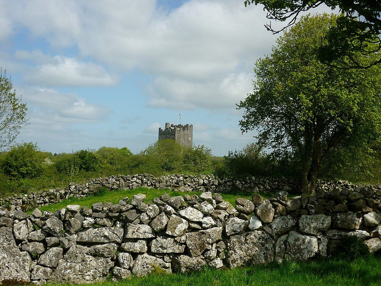
South of the high Burren the land changes. The bare grey uplands fall away, fields become greener and larger, and water appears everywhere: lakes, rivers, reed beds and wet meadows. At the heart of this country sits Corofin, a small village on the River Fergus, surrounded by lakes. It is a quieter corner than the coast or the uplands, and a good place to slow down after the drama of the limestone.
A village among the lakes
Corofin stands at the southern edge of the Burren, close to where the limestone dips under the farmland of mid Clare. The village is small, with a main street, a church and a few shops, and it is surrounded by water. Rivers and streams that have run underground across the uplands, as described in our guide to caves and turloughs, come back to the surface around here, feeding the lakes.
The River Fergus is the thread that ties this landscape together. It rises in the hills to the north, links several of the lakes, flows through the village and continues south towards Ennis and, eventually, the Shannon estuary. Bridges, mill sites and old fords along its banks show how much the river once mattered to the people who lived beside it.
The lakes are popular with anglers, who come for brown trout and other fish, and with birdwatchers. Swans, ducks, herons and other water birds are common, and in winter numbers rise as visitors arrive from further north.
Inchiquin Lough
The largest and best known of the lakes is Inchiquin Lough, just west of the village. It lies in a broad basin with wooded slopes on one side and farmland on the other, and the limestone hills rise beyond. On the shore stand the ruins of a castle built by the O'Briens, whose title Barons of Inchiquin took its name from the lake.
A road runs along part of the shore, with places to stop and look out over the water. On calm days the lake reflects the hills and sky; in wind, small waves break along the stony edge. The castle ruin is on private land; view it from the road or public paths rather than crossing fields.
Inchiquin is a good place to see how the Burren meets the lowlands. Look north and you see grey limestone terraces; look south and you see green fields and woods. The lake sits in between, part of both worlds.
Nearby Mullaghmore and the national park
Dysert O'Dea
A short drive south of Corofin lies Dysert O'Dea, an old church site linked with Saint Tola. It is a quiet, atmospheric place, and one of the best early church sites in Clare.
The church has a Romanesque doorway, carved with a row of human and animal heads around the arch, a style common in Ireland in the twelfth century. Nearby stands the stump of a round tower, once a tall bell tower and refuge, now broken off partway up. In a field to the east is a high cross, carved with figures, usually thought to date from around the same period as the doorway.
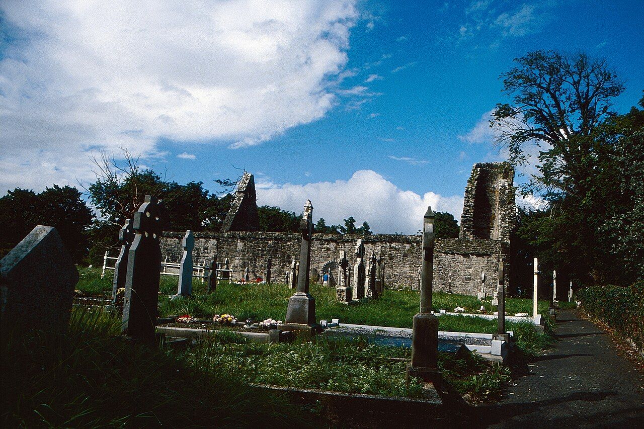
Take time with the doorway. The carved heads vary from one to the next, some human, some animal or stranger, and the weathering of the stone gives each a slightly different expression. Walk out to the cross too: it stands alone in its field, and its carving, which includes figures usually identified as Christ and a churchman, shows best in low side light.
A tower house also stands nearby, built later by the O'Dea family, who gave the site part of its name. Dysert O'Dea was also the scene of a battle in the early fourteenth century, when local Irish lords defeated a Norman force, an event that shaped the politics of the region for generations.
Visiting quietly
Dysert O'Dea and the other sites around Corofin are not busy, and that is part of their appeal. Treat them with care.
- Do not climb on walls, crosses or the round tower stump.
- Be respectful in graveyards, which may still be in use.
- Keep to paths and roads; much of the surrounding land is farmed and private.
- Close gates behind you, and keep dogs under control near livestock.
Walking and cycling
The country around Corofin is good for gentle walking and cycling. Quiet lanes wind between the lakes, through farmland and woods, with views of the hills to the north. The southern end of the Burren Way reaches this area, and you can follow sections of it to link the lakes with the uplands.
The national park around Mullaghmore is close by to the north, with waymarked walks on the limestone. Combining a morning on Mullaghmore with an afternoon by the lakes gives a good sense of the contrasts in this part of Clare.
Fitting it into a trip
From Ballyvaughan, the drive south across the high Burren passes Poulnabrone and Leamaneh before reaching Corofin. A loop could take in Corofin, Inchiquin Lough and Dysert O'Dea, then return north by way of Kilfenora and Lisdoonvarna. It makes for a long day, but one that covers a great deal of the region's variety, from bare limestone to wooded lakes, and from prehistoric tombs to medieval churches.
The seasons change this country more than most. In winter, fields flood and some lakes spread well beyond their summer edges, while in a dry summer the water draws back and leaves pale stony margins. Spring brings flowers to the lane verges and the edges of the limestone, and autumn turns the reed beds gold.
Corofin and its lakes are not the first place most visitors think of in the Burren. That is reason enough to go.